
How might you use this georeferenced image to uncover new information about
the history of the region you just mapped.
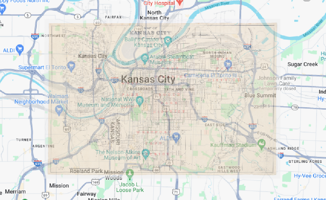
There is a lot of changes that are noticeable just through this reference of Kansas City. The most interesting in this map which was a map of parks in Kansas City. Many of the park boundaries have expanded and changed slightly, but not to a massive degree. Notably the boundaries of the Parade and the North Terrace have changed slightly. There are also many new interesting things in the Parade including the founding of the Negro League Baseball Museum. Other changes are visible on the map as well, many of the rivers in the surrounding area have changed course and it is obvious on the map, especially at the top right of the 1901 map. Overall, change over time is clearly mapped out through this exercise.
What are some weaknesses to this approach? Are there inaccuracies? Do some
places map better than others? Why?
One of the weaknesses of this approach is definitely the changes in park boundaries. The reference being a map of parks in the area and cemetery’s caused me to use these points as references often. There should be some obvious discrepancies between the two maps due to the changes in borders although much of the map looks good overall. The closer the map is to the Kansas border the more accurate it is. This is likely due to there being more parks closer to the rivers and no other notable points in Kansas City at this point. Overall the map is not the best reference to use due to it’s age and the change of rivers.
Don’t forget to categorize Evan!
Otherwise, nicely done.