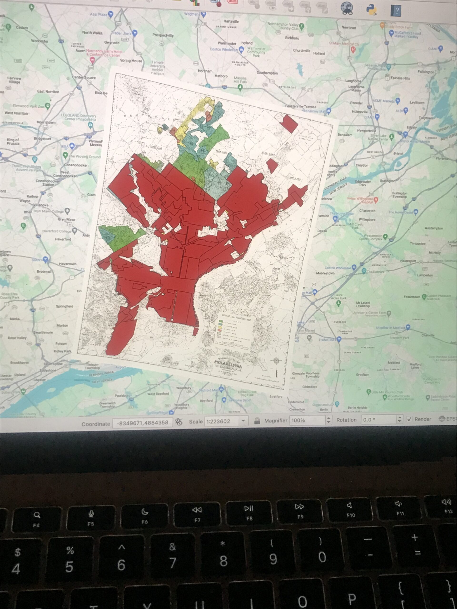
1.) The practicing of lending in Philadelphia during 1937 had a racial bias to it. In 1937, typically houses within an affluent part of the city were given higher loans than people located within colored/poorer areas. This made it harder for colored and poor people to settle into nicer neighborhoods due to the unfair lending practices.
2.) The areas on the map with the highest interest rate are the areas colored green and blue located just to the north and southwest of the redlined area. These areas had more resources and had a larger white population. Thus, in 1937, the areas in green and blue were considered more of “value” to those who moved into Philadelphia.
3.) I would say that redlining did not cause “racism” to exist… However, preconceived and institutionalized racism was already alive and well in Philadelphia. These conditions served as the backdrop for the eventual redline areas we see on many maps of cities in the US from the 30s, 40s, and 50s.
4.)


You’re missing some maps. Where’s the interpolation??