
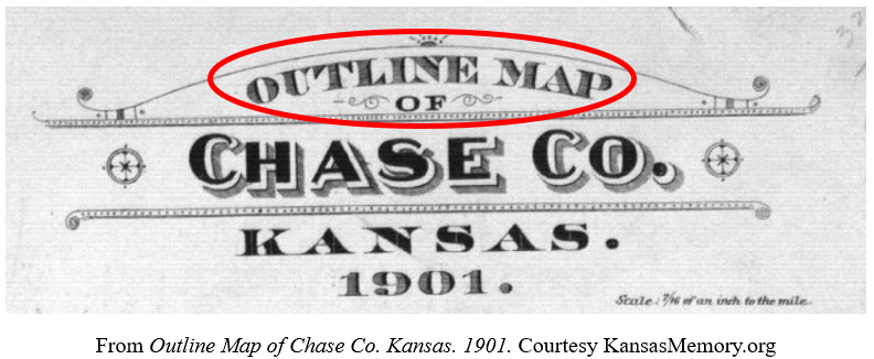
The Outline Map of Chase Co. Kansas. 1901. seems to be a reference map which proposes an “outline” of the land organization and settlement patterns of Chase County, Kansas. With the map’s title beginning with “outline,” the mapmaker clearly did not intend to provide the viewer with a comprehensive guide to the landscape of Chase County and instead intended to provide limited information about the landscape and the settlements in the county.
The map primarily focuses on depicting human-made features such as towns, schoolhouses, and railroads. . .
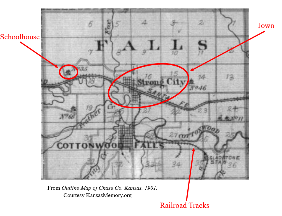
. . . as well as features that humans have imposed on the landscape such as the clearly marked Township and Range lines of the Public Land Survey System (PLSS) that pervade the map.
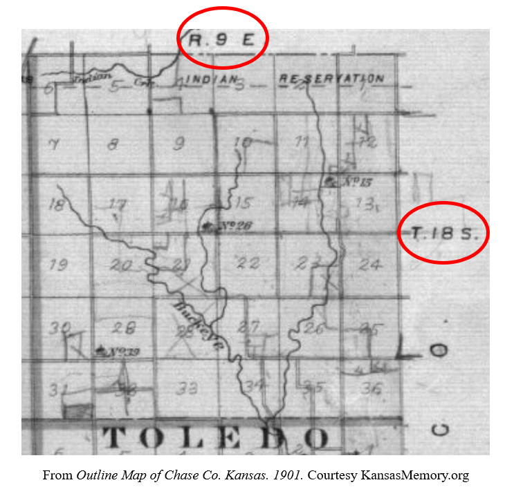
The mapmaker largely omitted depicting most natural terrain and vegetation on this map in favor of depicting these human-made and human-imposed features. This indicates that the mapmaker intended for this map to help people buying land in Chase County determine where they might like to purchase land and what amenities may be near that area.
Despite omitting most natural features, this map does depict streams and rivers that run through the county.
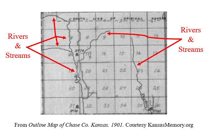
Having a nearby water source to provide water for human habitation, livestock, and crops would be an important consideration for a prospective landowner. As a result, this map depicts water sources throughout the county to better serve its purpose of providing people buying land in Chase County with an outline of the county’s layout to better inform their purchase.
In his book PrairyErth: (a deep map), William Least Heat-Moon provides readers with an outline of Chase County with a simple grid of twelve blank squares each representing one section of Chase County.
Throughout the book, Heat-Moon fills in these empty spaces by describing the minute details of the landscape of Chase County as he creates a “deep map” of the area.
Prospective landowners viewing the Outline Map of Chase Co. Kansas. 1901. similarly used their imagination to fill the “empty” and featureless natural landscape the map depicts with the plans they had for the land they sought to purchase.
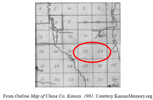
The portrayal of plots of land as blank spaces allowed viewers to imagine the farms, ranches, businesses, or houses they planned to construct on a “blank slate” of land in Chase County, creating their own imaginary “deep map” of part of the county.
Oh, well that’s an interpretation I haven’t seen before. This last bit “The portrayal of plots of land as blank spaces allowed viewers to imagine the farms, ranches, businesses, or houses they planned to construct on a “blank slate” of land in Chase County, creating their own imaginary “deep map” of part of the county” – I hadn’t thought of plat maps in that way, but its certainly intriguing.
I really like the way you’ve incorporated imagery and annotation in this blog too. The degree of detail is helpful. I’ll be honest, the balance isn’t what I would’ve done (I would’ve focused on WLHM and used the plat map to support my interpretation) but I’m not prescriptive in these posts. As long as you engage materials, think deeply about them, and write with poise, I’m happy. You met all of those conditions.
One critique – make sure blogs reference all materials moving forward. No word on Weltzien here. Great work!