
William Smith’s geological map of England and its surrounding areas was one of the most detailed and descriptive geological maps of its time. William Smith’s Geological Map makes the argument of how England’s geological layers formed. In his map, Smith shares his idea of faunal succession. Because of William Smith’s discovery, scientists were able to better understand the history of Earth’s climate, geology, and biology.
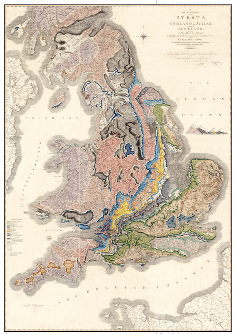
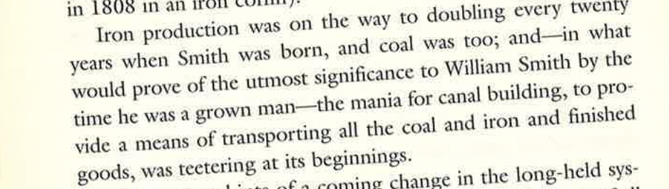
William Smith describes fossil succession allowed Smith to place rock formations in chronological order. As a child of the Industrial Revolution, Smith grew up in a time when coal was an extremely important resource. Smith became a surveyor, requiring him to visit coal mines. While visiting, Smith noticed that rock layers occurred in a sequence of predictability.
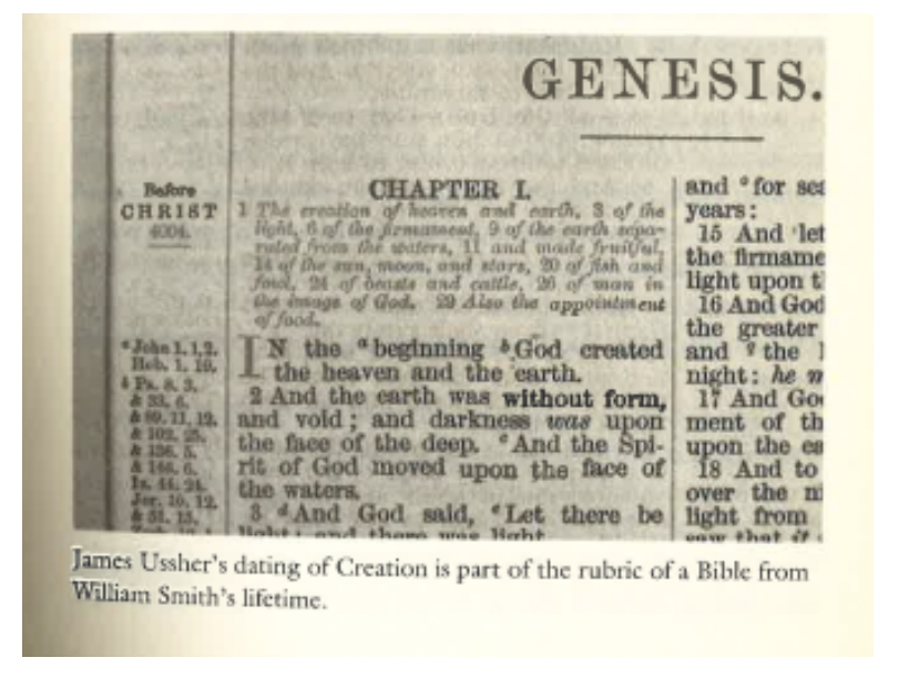
Also during this time, The Enlightenment created advancements in science and philosophy. Many people asked questions related to the field of Natural Science. Specifically, the question of how our world came to be was at the forefront of Scientific Thinking. Many of these questions stemmed from religious aspects as well. It was a common belief that the world we lived in was created by God.
William Smith’s map allowed England to observe their land on a literal deeper level. These discoveries accurately ordered rock layers and allowed for England’s coal industry to expand. Not only did Smith’s discoveries provide an economic impact, but it was also a great scientific achievement. His discovery allowed us to understand the history of our Earth. We were able to learn that the history of Earth exceeds far past out initial idea. By discovering fossils and rock formations, we were able to accurately describe when different species existed. This discovery also allowed for scientists to better understand Earth’s climate history.
The discovery of William Smith originated as a way to expand the economy during the Industrial Revolution. However, the result of this discovery advanced science. The discovery of a predictable rock formation allowed scientist to better understand the history of Earth’s climate, biology, and geology.
Oooo. I like this statement – “William Smith’s map allowed England to observe their land on a literal deeper level.” It make it seems like you were relating this to our concept of the “deep map” from last week. But then, you don’t take it further! I think it must’ve been intentional for you frame it this way – wouldn’t it have been interesting to consider how this is or isn’t an example of deep mapping? William Least Heat Moon even called what he was doing a sort of archeological excavation… anyway, if that was your purposes, feel free to make these connections across weeks in future posts too!