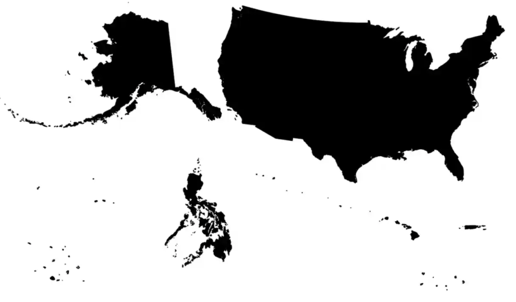
The article, How the US has Hidden its Empire, by Daniel Immerwahr examines maps of the United States at different points through history and how US opinions on foreign lands, identity, and power shaped them. Immerwahr begins to lay out his argument as he unfolds the history of the Pearl Harbor bombing and the intentional decisions that were behind sharing the news with the public. The United States purposefully left out the bombings that occurred in their territories of Guam, Midway, the Philippines, and Wake Island even though all of them, including Hawaii, were territories at this time. This exclusion is mirrored in how the United States and its territories are displayed through maps. He argues that this clearly shows that the US thought of Hawaii as “more American” than these other territories.

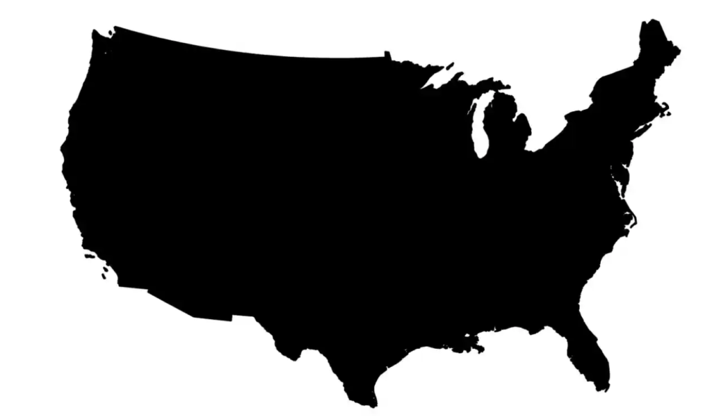
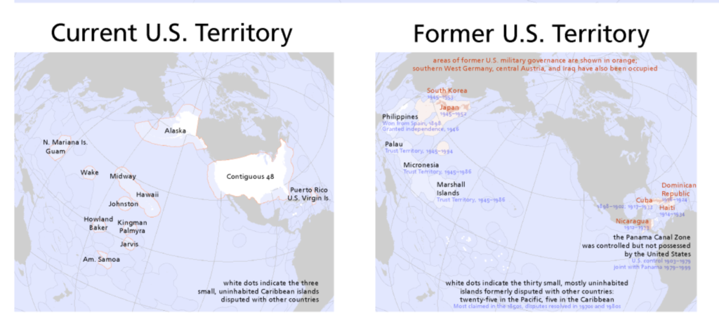
Maps are often used to shape the perception of imperialism in the public. Political Scientist Benedict Anderson describes this as the “logo map” (pictured above) meaning that if the United States had a logo it would only be the lower 48 states. However, this is not politically correct, even in the year of the Japanese bombings as it should include all territories such as Hawaii, Alaska, the Philippines, etc. The image below shows a comparison between the current US territories and its former territories.


This analysis allows us to understand the true interconnectedness of Japan’s attacks not just on Hawaii, but across American Pacific territories. By looking at what versions of maps were being produced during specific time periods, one can get an understanding of the geopolitical context the world was in at that point. This can still be seen today and an example of this is a standard world map. By placing Europe and “The West” in the center of the map, it is inadvertently promoting a euro-centric idea of the world. This explains how the argument Immerwahr is making still stands today.
Immerwahr, Daniel. “How the US Has Hidden Its Empire.” The Guardian, Guardian News and Media, 15 Feb. 2019, www.theguardian.com/news/2019/feb/15/the-us-hidden-empire-overseas-territories-united-states-guam-puerto-rico-american-samoa.
Rankin, Bill. “Radicalcartography.” Radicalcartography, radicalcartography.net/. Accessed 1 Feb. 2024.


Nicely written Emma, I really like your “euro-critical” approach – the geographic center of the US in its entirety is certainly not Kansas – somewhere in the Pacific. What does this mean about our nation that we rarely even consider the Pacific?