
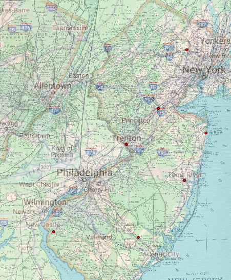
This georeferenced image could be used to uncover new information about the history of the region I just mapped by using the cities that correlate to modern day cities as landmarks to discover new things nearby. Although a state such as New Jersey that is highly populated with not much land left undiscovered, that does not mean more information cannot be found. An example like this was helpful in trying to find a gravesite of an ancestor of mine while doing genealogical research by using old maps to find the nearly deserted and forgotten graveyard. Another way a georeferenced image such as this could be found helpful is rediscovering shipwrecks that have been lost to time using old landmarks from the 1892 map to compare to those in Google Maps.
Some potential weaknesses to using this approach however lies in the fact that in the modern day we have much more exact technology than what was had in 1892. That means the proportions of the 1892 have points where they are not nearly as exact as the modern day Google Maps map. This leads to cities and landmarks not always being in the same spot over the years even if their geological area has not changed at all in the past one hundred years. The consequences to these discrepancies can lead to things/places being miles from what they are mapped to be which can be frustrating when attempting to find something that has been lost to time. Places that have geological landmarks tend to be easier to map out because those landmarks do not move and remain stagnant, acting as points of reference when creating maps of that area.
Nicely done Isabel!