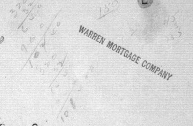
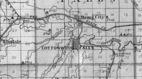
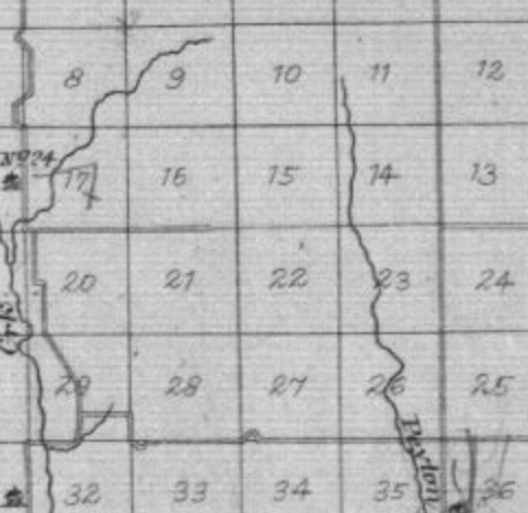
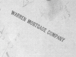
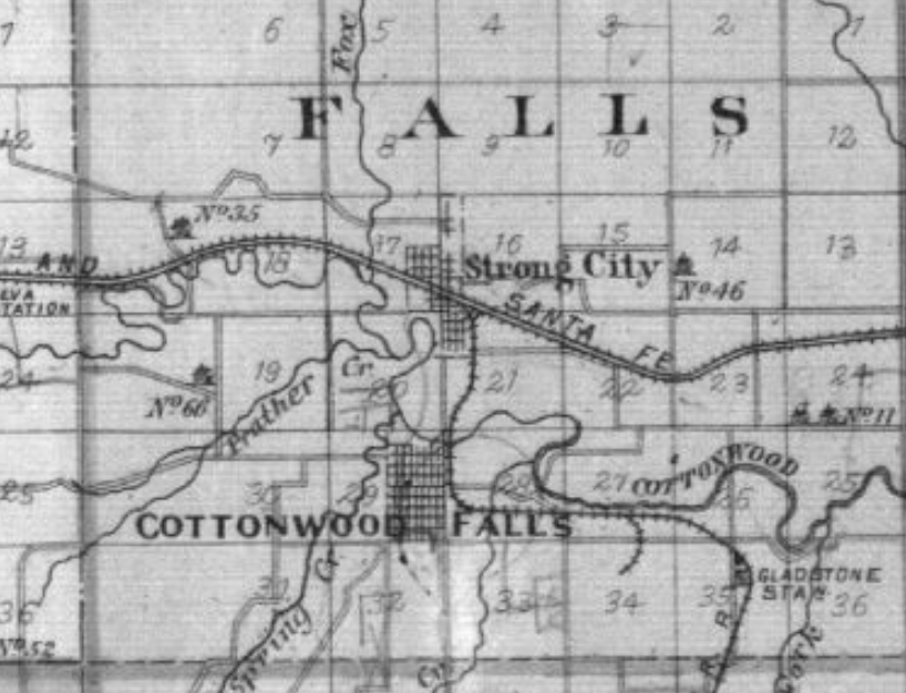
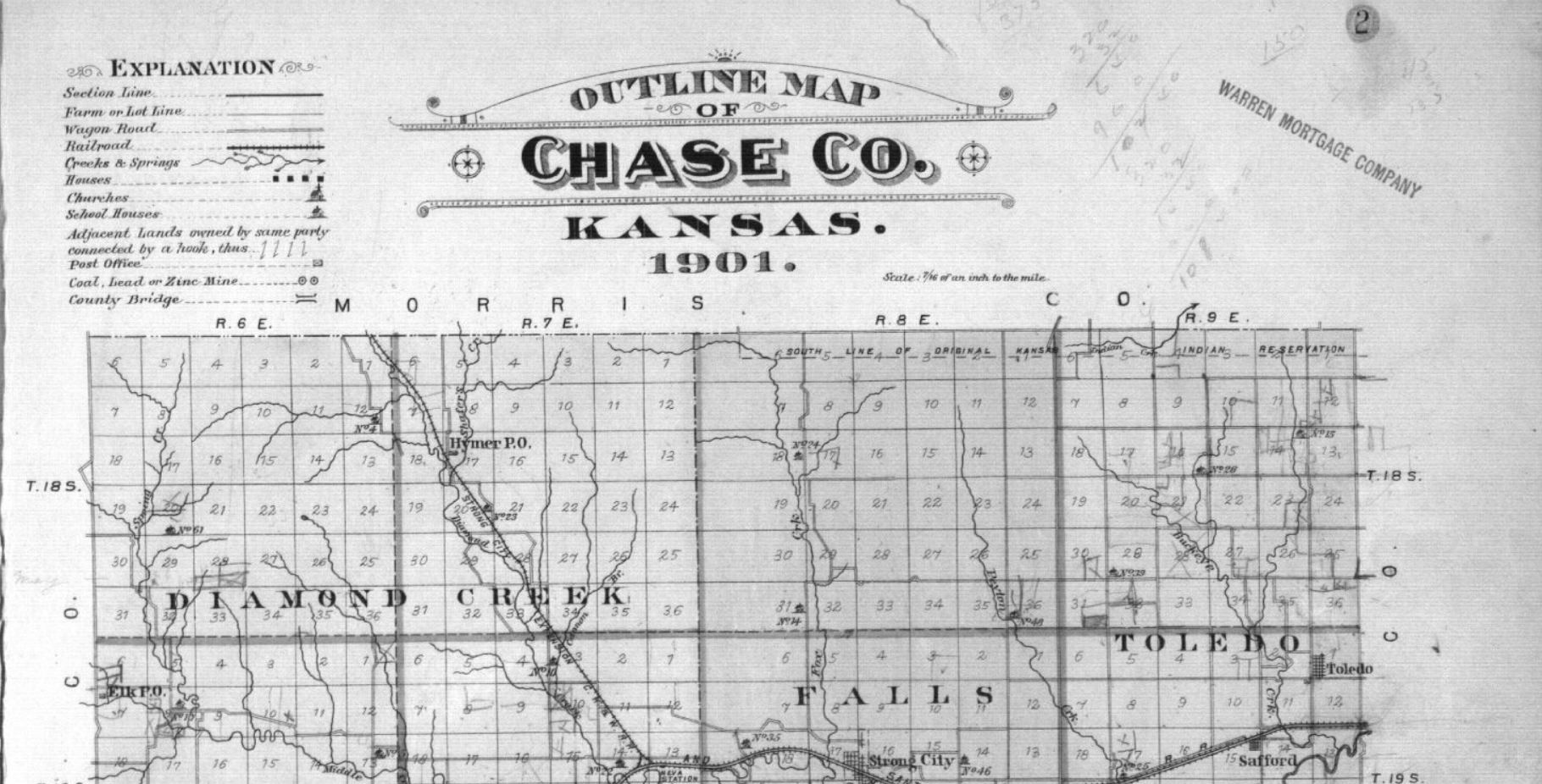
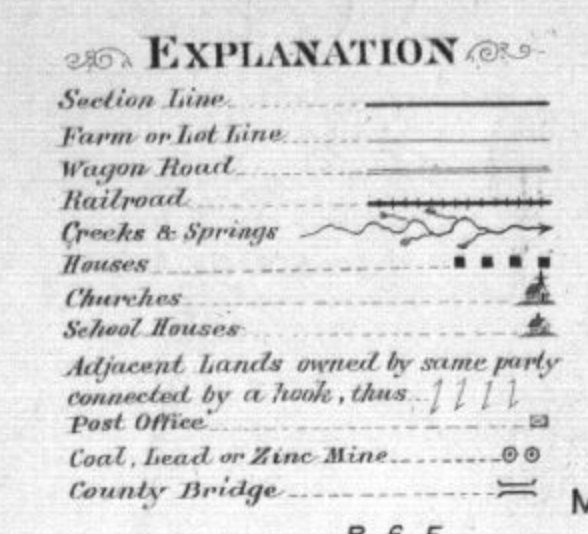
The Outline Map of Chase Co. Kansas, 1901 looks as though it is a relatively simple map. However, upon further investigation, it becomes apparent that it intends to increase the movement of people and settlement within the region. Since the author of this map was Warren Mortgage Company, one can imply that the intended purpose of the map was to increase settlement, and therefore increase the economic state of the County.
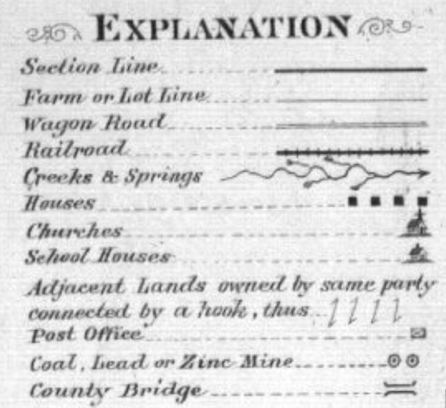
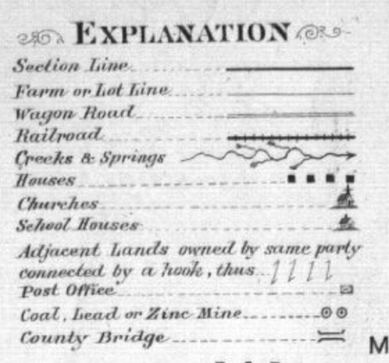
This map depicts important information for prospective settlers such as schools, churches, post offices, and more. Going into more detail, one gets to the heart of the map argument as seen through its depiction of railroads, wagon roads, and lot lines. These lines do not just show means of travel throughout the area, but also showcase the areas of land that settlers could live on.
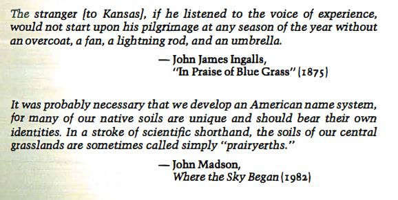
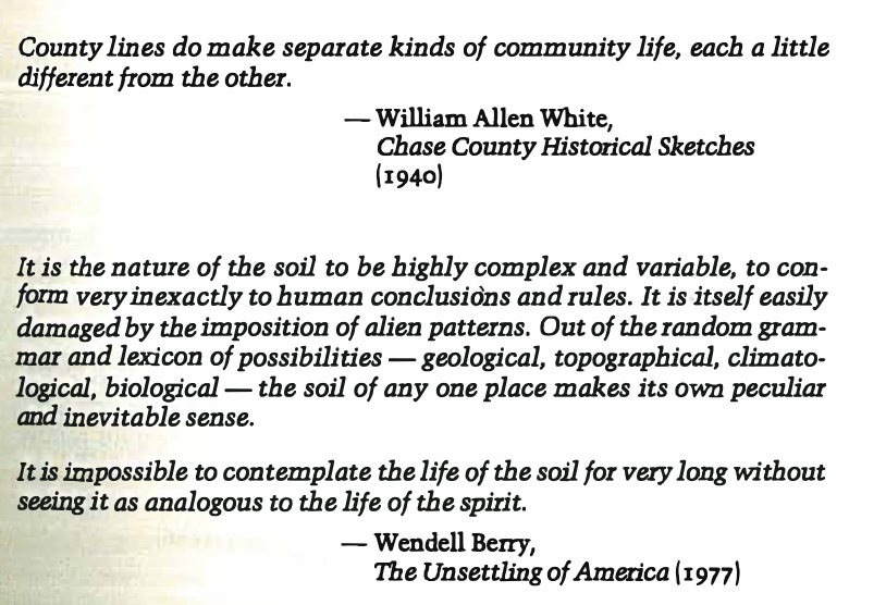
PrairyErth shows Chase County from a different perspective that can help create a more holistic understanding of the region and its settlers. The map looks at Chase County more from the angle of culture and the traditions that the settlers have as it shows quotes from those who live there. Through this, viewers can come to learn about their way of life and particularly how important farming is in their community.
Finally, these maps showcase the different aspects of Chase County but they both have the end goal of increasing settlement. The Outline Map of Chase Co. Kansas, 1901 looks at the region through the lens of economics while the PrairyErth map looks at the region from the approach of culture. Both provide needed backgrounds on the County for incoming settlers but have different approaches as to achieving that.