
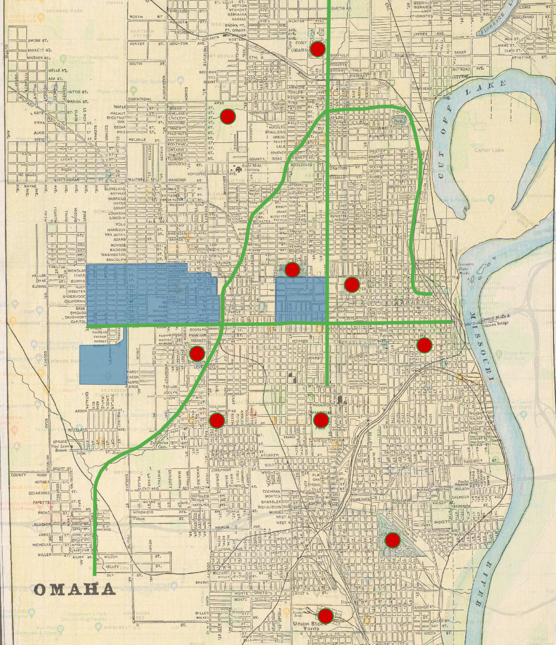
I think a feature on the map that would have been difficult to assign a vector categorization is any body of water. The Missouri River and especially Carter lake were not entirely accurate in their depiction on the map, and so assigning a polygon to these features would reflect inaccurate in comparison to other more recent maps. Also, vector categories would have been difficult to assign to specific buildings for this map. Really, only roads, railways, and parks are shown on this map. Trying to pinpoint the exact location of a building would have been difficult, as the only thing to refer to in terms of location are street corners.
One attribute that I think would be appropriate would be information as to whether each point I placed still exists today or if it didn’t exist when this map was created. Many of the point locations on this map had been present at the time and are still present today, but there were some points that I placed on current locations in which I am not totally sure if they even existed when this map was made. I think that this information would be helpful in offering more context to a viewer of this vectored map. Another attribute I would add would be on the polygons that I created. I decided to use the polygon feature to map out sizable neighborhoods in the Omaha area. Insightful attributes that could be added would consist of things like resident demographics, population size, or even average home price. All these things would allow an audience to be more knowledgable about each particular neighborhood.
One spatial relationship that I observed when digitizing this map was how thorough the railway system was across the entire city of Omaha. I used a line to digitize one of the railways, and I was very surprised at how long just that one route spanned. Also, many of the railways converge near the old Union Stock Yards in the south part of town. It made me view this historical map almost as a tool that displays the usefulness of transportation systems for commercial or economic purposes in Omaha, which is something that I had not considered about the map before this activity.
Nicely done and yes, the railroads were such a huge part of the cityscape in years past. These days we barely notice them, and yet many are still there!