
Missouri map from 1966
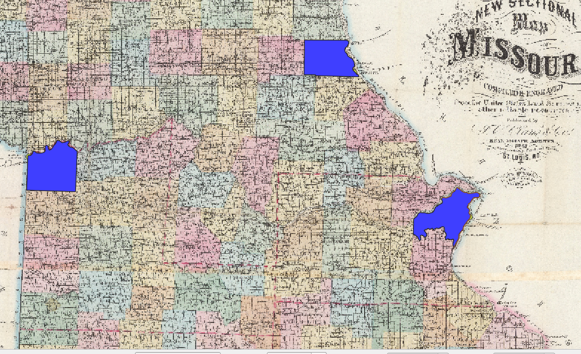
- The hardest parts of this map were the specific county lines. Missouri is based heavily on rivers in densely populated rivers, so working with straight lines was not the easiest.
- Significant railways/roads could help bring the map together, understand how densely populated areas remained supplied, and bring light to why there are so many small towns in Missouri.
- I have more respect for historical mapping because comparing where modern artificial lines and structures are compared to the historical map took some time. I also realized how many counties lie between more populated areas that I would have never considered to even exist.
There it is! Don’t forget to categorize!